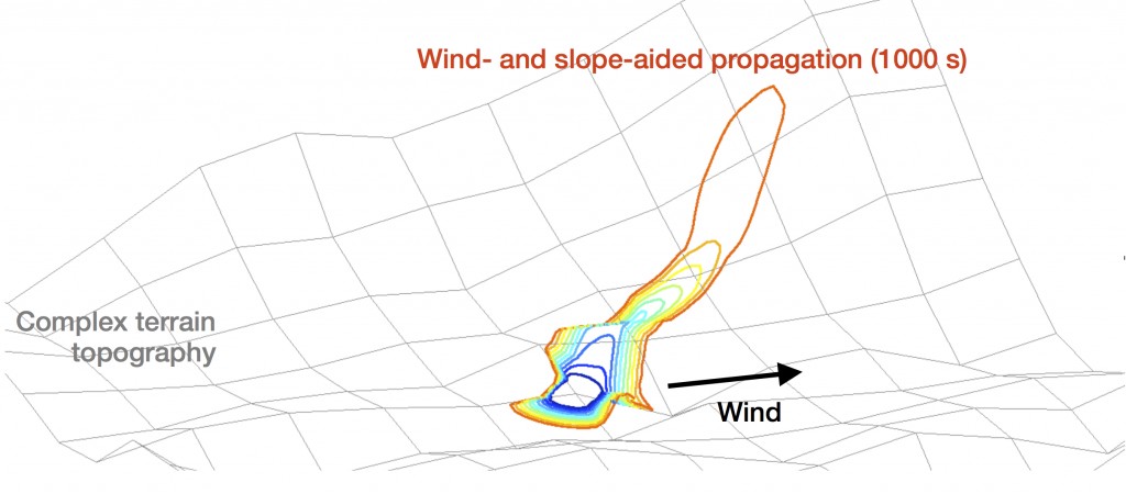
FIREFLY est un système d'assimilation de données qui s'appuie sur la modélisation numérique de la propagation des feux et qui intègre les observations disponibles sur un évènement donné pour réduire les incertitudes et ainsi représenter l’enveloppe des scénarios possibles de comportement des incendies utiles pour la prise de décision en situation de crise.
FIREFLY est né d'une collaboration entre le Cerfacs et l'University of Maryland dans les années 2010 qui a permis de développer le concept de l'assimilation de données pour l'application incendie.
FIREFLY continue aujourd'hui dans le cadre du projet ANR éponyme en incluant plus d'acteurs : CNRM/Météo-France, SPE/Université de Corse, CERTEC/Université Polytechnique de Catalogne, et Worcester Polytechnic Institute, avec l'ambition de combiner les progrès récents en modélisation couplée feu-atmosphère, apprentissage, télédétection et observations infrarouges.


